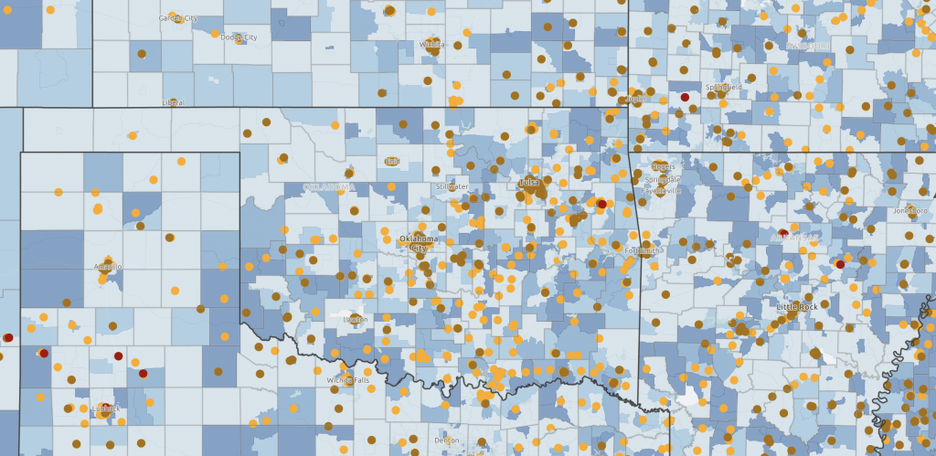
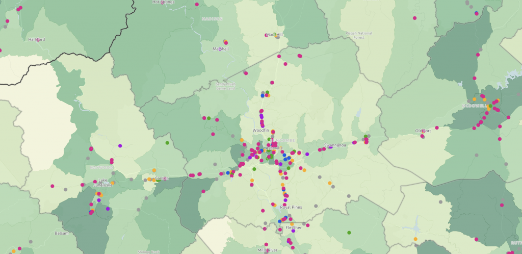
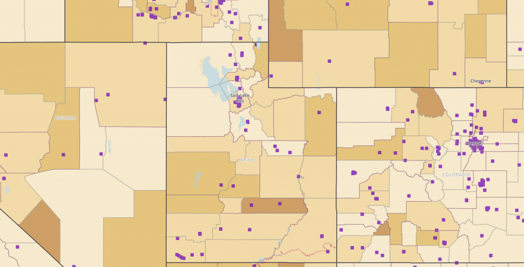
Using Maps and Data to Support the Community Needs Assessment Process
Maps can serve as powerful and insightful tools when used to explore needs, areas of vulnerabilities, and assets in a community. If you are new to using the NCAP Map Room and exploring community level data, we suggest clicking one of the starter maps below to begin your exploration process. You can also view helpful guides and videos if you have questions about how to add data to a map, how to export a map, or how to use advanced mapping tools.
Been here before? Skip this step and go straight to the NCAP Map Room.